The case for a global ocean carbon observation network
by Saildrone 16 Dec 2020 15:13 UTC
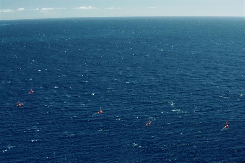
Saildrone is seeking impact partners to operationalize its USV platform for the benefit of humankind © Saildrone
Since 1958, the Global Carbon Budget has tracked anthropogenic CO2 emissions and their redistribution among the atmosphere, ocean, and land. Annual budgeting is necessary due to large year-to-year variability in CO2 sources (primarily fossil fuels) and sinks (primarily climate driven).
However, uncertainties remain, due to a lack of data, that hinder both research seeking to better understand the global carbon cycle and efforts to independently verify reported CO2 emissions. To refine our understanding of how much atmospheric carbon the planet—and the life it supports—can tolerate, we must significantly increase observational data collection, especially in remote, chronically undersampled regions.
Saildrone proposes a global fleet of unmanned surface vehicles (USVs) for sustained carbon monitoring, supported by a public-private partnership made up of the international science community and private companies developing innovative solutions for ocean observation.
Why we need to understand the carbon budget
Accurate knowledge about the sources of CO2 emissions and where they are going is critical to the ongoing development of climate policies and projecting what the future climate will look like.
Data collected from ships over the past three decades have shown that oceans absorb about 25% of all the carbon released into the atmosphere annually. Scientists estimate that about 40% of ocean CO2 uptake, around one billion tons, is absorbed by the Southern Ocean. Early carbon data collected by ships, though revolutionary, was still sparse; ships tend to follow designated routes and have limited operational capacity during the Southern Ocean winter.
More recently, the Southern Ocean Carbon and Climate Observations and Modeling (SOCCOM) project deploys floats that measure the pH of water and infer the partial pressure of carbon dioxide (pCO2). Analysis of the first three years of SOCCOM float data has shown that during the Antarctic winter, the Southern Ocean was releasing rather than absorbing carbon in certain areas.
The role oceans play in absorbing carbon, the rate carbon is released from the ocean, and the effects that increased carbon in seawater can have on the ocean ecosystem must be considered. Ocean acidification is the change in water chemistry driven by carbon uptake, which could affect countless organisms from phytoplankton, coral, and krill to fish and marine mammals.
"The adaptive capacity of organisms that may be impacted by changing ocean chemistry is not well known, and a great deal of work must be done to understand the interactions of multiple stressors and their potential ramifications for marine ecosystems and the human communities that depend on their health," (Tilbrook, Jewett, et al. 2019).
Scientists report scientific measurements in terms of uncertainty—the range of possible values within which lies the true value of the measurement.
"In the 2019 budget, for example, there is an approximately 0.4 Gigaton of carbon (GtC) overestimation of emissions and/or unaccounted CO2 sinks (Friedlingstein et al. 2019). For perspective, that error is approximately half the total annual CO2 emissions from the European Union. This magnitude of error challenges our understanding of the year-to-year drivers of the global carbon cycle, to track with high accuracy whether the ocean sink is changing over time, or to validate country-based emission estimates through top-down approaches," explained Dr. Adrienne Sutton, an oceanographer at the National Oceanic and Atmospheric Administration (NOAA)'s Pacific Marine Environmental Laboratory (PMEL).
Great strides have been made to reduce the amount of uncertainty surrounding measurements of how much carbon the ocean is absorbing, but to understand the carbon budget of the planet, uncertainty must be reduced even further.
What Saildrone proposes
The Surface Ocean CO2 Network (SOCONET) uses ships and buoys to collect surface ocean partial pressure of CO2, which has led to advances in the understanding of ocean CO2 uptake and variability. But after more than 60 years of observation, there are vast areas of the ocean where CO2 measurements have never been collected.
Scientists at NOAA PMEL have been working for 15 years to develop an ASVCO2 sensor that measures pCO2 in the atmosphere and surface ocean at an accuracy of < 2 µatm. This sensor has been integrated into the Saildrone sensor suite and the data collected is used to calculate the amount of CO2 being absorbed or released by the ocean.
"The new ASVCO2 technology can be used to supplement current carbon measurement techniques, particularly with its cost-effective and energy-efficient design. [Saildrone has] the ability to accurately measure air-sea CO2 with an overall uncertainty of ±2 µatm paired with sea surface pH, SSS, and SST every 30 min. The short measurement interval provides carbon measurements that can capture small-scale spatiotemporal variability in the carbon system near the air-sea interface along the measurement path." (Sabine, Sutton, et al. 2020)
Saildrone has completed several CO2-specific pilot projects in the Arctic, Tropical Pacific, North Atlantic, and Southern Oceans. The 2019 Saildrone Antarctic Circumnavigation, generously supported by the Li Ka Shing Foundation, demonstrated the viability of the platform at the extreme southern latitudes and generated the first Saildrone data set from the Southern Ocean.
After a 30-day mission in collaboration with the University of Rhode Island to measure wintertime air-sea heat and carbon exchange in the Gulf Stream, SD 1021 completed Saildrone's first Atlantic crossing—the fastest to date by an unmanned surface vehicle—collecting carbon data along the way. Three months later, the vehicle completed the return trip to Rhode Island.
The 2019-2020 Atlantic to Mediterranean (ALT2MED) mission, supported by PEAK6, was a public-private partnership between Saildrone and 12 institutions from seven European countries. Two vehicles sailed from Cabo Verde to Trieste, Italy, collecting carbon data at nine fixed ocean stations as well as taking biochemical, ecological, and physical measurements.
These and other Saildrone data sets have been made publicly available via Saildrone's data portal, data.saildrone.com. Other Saildrone data sets are available on public data portals including NASA PO.DACC, NOAA ERDDAP, NOAA Ocean Carbon Data System (OCADS), EMODNET, and others.
Seeking impact partners
Saildrone proposes a global fleet of 40 vehicles to collect carbon data for sustained monitoring. Saildrone's USVs are environmentally friendly, using wind power for propulsion and solar power to run the onboard sensors, computers, and satellite and navigation instruments. In addition to carbon data, each Saildrone autonomous vehicle collects nearly two dozen meteorological and oceanographic metrics above and below the sea surface at a frequency of 1 minute or greater.
"Over the past 20 years of making ship-based measurements, we've learned that there's a lot more variability in the amount of carbon the Southern Ocean can take up than we'd previously realized. We need more information to understand the regional changes, and how carbon uptake is changing year to year, but we can't get that with ships alone," said Dr. Bronte Tilbrook, a biogeochemist studying ocean acidification and the global carbon cycle at Australia's Commonwealth Scientific and Industrial Research Organisation (CSIRO).
Saildrone is seeking impact partners to operationalize its global data infrastructure, especially in remote, chronically undersampled regions. Partnerships between the private sector and the international ocean observation community present exciting opportunities to leverage the innovative technologies required to improve understanding of the planet's carbon budget. After all, we can't correct what we can't measure, and we can't plan for what we don't know.
To get involved in Saildrone's impact science program, please contact us.
Resources:
- Pierre Friedlingstein, Matthew W. Jones, et al., "Global Carbon Budget 2019," Earth System Science Data, December 4, 2019
- Rebecca Lindsey, "Saildrones Monitor Plant Growth and Acidification in Remote Arctic Waters," NOAA climate.gov, May 29, 2018
- Christopher Sabine, Adrienne Sutton, et al., "Evaluation of a New Carbon Dioxide System for Autonomous Surface Vehicles," Journal of Atmospheric and Oceanic Technology, Vol. 37, Issue 8, August 2020
- Bronte Tilbrook, Elizabeth B. Jewett, et al., "An Enhanced Ocean Acidification Observing Network: From People to Technology to Data Synthesis and Information Exchange," Frontiers in Marine Science, June 19, 2019
- Alexandra Witze, "The Southern Ocean May Be Less of a Carbon Sink Than We Thought," Science News, June 2, 2019
- Intergovernmental Panel on Climate Change (IPCC), Special Report on the Ocean and Cryosphere in a Changing Climate (SROCC), September 2019
- National Oceanic and Atmospheric Administration, "NOAA Unveils 10-Year Roadmap for Tackling Ocean, Great Lakes Acidification," NOAA.gov, July 29, 2020
- National Oceanic and Atmospheric Administration, "Saildrone is First to Circumnavigate Antarctica, in Search for Carbon Dioxide," NOAA.gov, August 5, 2019