
NASA study finds close correlation between satellite and Saildrone in-situ data
by Saildrone 24 Mar 2021 17:52 UTC
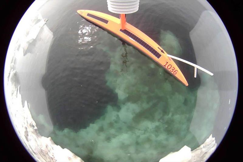
Saildrone Explorers SD 1036 and SD 1037 equipped with IR pyrometers for the 2019 Arctic MISST mission © Saildrone
The 2019 NASA Multi-Sensor Improved Sea Surface Temperature Project (MISST) mission in the Bering and Chukchi Seas was the first of five years of temperature calibration and validation at high latitudes.
This mission, part of a larger survey in partnership with the National Oceanographic and Atmospheric Administration (NOAA), marked Saildrone's fifth consecutive year of successful surveys in the US Arctic. Dr. Jorge Vazquez of NASA's PO.DAAC and the lead author of the study aimed to compare satellite-derived temperature and salinity measurements taken of the Bering Strait region against in situ measurements collected by saildrones.
Satellite remote sensing provides a unique opportunity to monitor the Arctic region, however, in situ observations must be collected for validation. Vazquez presented his findings in a poster session at the American Geophysical Union (AGU)'s Fall Meeting 2020, and in a paper "Using Saildrones to Validate Arctic Sea-Surface Salinity from the SMAP Satellite and from Ocean Models" recently published in Remote Sensing.
"The Arctic is a major driver of climate on our planet, and it's also an area where it's difficult to get what we call validation of remote sensing data," said Vazquez told Eos.
According to the article, Vazquez and his team found "a remarkably strong correlation between measurements taken by satellite and measurements taken by the saildrones in situ."
In addition to the standard sensor suite, two of six saildrones that participated in the mission were equipped with a bow-mounted IR pyrometer to measure both the skin temperature and reflected sky radiation.
The animations below show the survey track and measurement data, specifically sea surface salinity (SSS) and temperature (SST) measurements in relation to satellite SSS and SST respectively, of the two Saildrone Explorers that participated in the study, which was conducted from May 15 to October 11.
The Saildrone uncrewed surface vehicle (USV) has proven to be a valuable component in a multiplatform observing system and is also capable of collecting data for a range of mission objectives at the same time.
The data collected by the Saildrone fleet during the 2019 Arctic mission is also being used as part of a Woods Hole Oceanographic Institution (WHOI) project to develop machine learning tools to improve estimates of air-sea heat exchange in the Arctic Ocean and adjacent seas.
"Arctic surface air temperature is rising twice as fast as the rest of the world, and its sea ice is retreating up to three times faster than the rate projected by climate model simulations," said WHOI senior scientist Lisan Yu, and the project's lead investigator. "The significant underestimate of Arctic sea-ice-loss in models underscores critical gaps in knowledge concerning interactions between the atmosphere, the polar ocean, and ice-covered regions. This project brings all available observations together in a consistent and comprehensive manner to help models make accurate predictions, which are vital for the development of effective policy responses to climate change."
Read more in Eos: Keeping a Close Eye on the Ocean—from Afar
Resources:
- Jorge Vasquez-Cuervo, Chelle Gentemann, et al., "Using Saildrones to Validate Arctic Sea-Surface Salinity from the SMAP Satellite and from Ocean Models," Remote Sensing, 2021, 13(5), 831, February 24, 2021
- Woods Hole Oceanographic Institution, "WHOI-NOAA Partnership Tackles Critical Gap in Climate Knowledge," press release, October 6, 2020.