
Global Solo Challenge - Cape of Good Hope: the route to the Cape of Storms
by Global Solo Challenge 29 Jul 2021 15:11 UTC
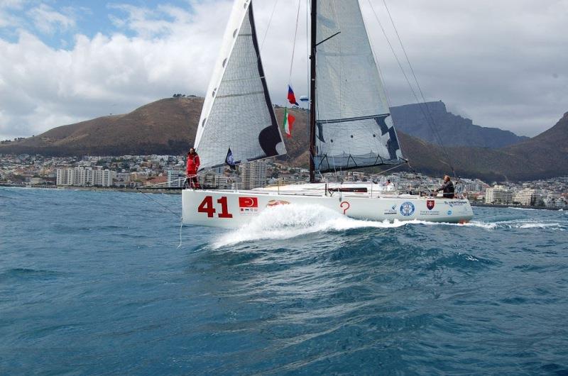
Cape Town © Global Solo Challenge
The Cape of Good Hope was initially called Cape of Storms by the navigator Dias who first reached it, without being able to round it, arriving from Europe. Its calming name has nothing to do with prevailing weather conditions but from a secondary aspect that was much more important at the time.
With the discovery of the Cape of Storms, the hope was concretely opened that the Indies could be reached by sea.
The King of Portugal John II, decided to change its name to "Cape of Good Hope". It was the end of the fifteenth century, sighted by Dias in 1487, rounded by Vasco de Gama ten years later.
This was the time of the great explorations by sea by the Portuguese. By trying another route, the Italian Christopher Columbus discovered the Americas in 1492, initially thinking that he had already reached the distant lands of the Indies.
The three great capes: Hope, LLeewin and Horn
These are the three great capes that mark a non-stop circumnavigation. Starting from Europe, the first to round is precisely the Cape of Good Hope, we will soon talk about its dangers. It is the cape that marks the passage from the South Atlantic Ocean to the Indian Ocean and is located at 34 degrees South of latitude. The second cape that to be rounded is Cape Lleeuwin, which is much less known. This is because in reality those who undertake a circumnavigation pass much further south. This despite the fact that the cape is also at 34 degrees South, just like the Cape of Good Hope.
However, from a meteorological point of view it makes no sense to approach Australia to round cape Lleewin. Going north from the roaring 40s route you risk headwinds and areas of light winds. Those who plan their route will typically head for South East Cape, the southernmost tip of Tasmania located at 43 degrees South. Cape Lleuwin is therefore important merely for its geographical significance, its longitude marks the transition from the Indian Ocean to the Pacific Ocean.
For those planning a non-stop passage, they will have to consider South East Cape in Tasmania first, then Slope Point. This second cape represents the southernmost tip of New Zealand and is located at the latitude of 46 degrees South. From there the next target however is the most legendary and feared of all three capes, Cape Horn. The dreaded cape is actually a Chilean island marking the narrowest point of the Drake Channel. An island nestled between South America and Antarctica, a treacherous place for several reasons. In addition to weather conditions, the sudden rise of the Atlantic seabed from thousands of meters to a couple of hundred can create extremely dangerous sea conditions.
Atlantic Ocean and Pacific Ocean meet at the Cape of Good Hope
Cape of Good Hope therefore marks the passage between the South Atlantic Ocean and the Indian Ocean. The dangers that characterise it are many and they certainly were for the first navigators who reached it sailing in unknown waters. From the point of view of the prevailing winds, the dreaded South-Eastern blows here, very often, a strong wind from the South East. It is clear that for the ancient sailing ships and clippers, approaching the Cape following the African coast meant encountering very strong headwinds.
This made the Cape often difficult to round despite several attempts. The short windows that open with different winds are fleeting, shut down quickly and the prevailing headwinds return. The South-Eastern is strengthened by the presence of the continent and is the distant echo of the south-east trade winds immediately south of the doldrums.
Read the rest of the article here