
C-MAP app now available worldwide with crowd-sourced Genesis layer
by C-MAP 23 Jun 2022 02:34 UTC
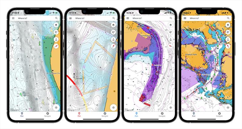
C-MAP app now available with crowd-sourced Genesis layer © C-MAP
C-MAP®, a leader in digital marine cartography and cloud-based mapping, has made its crowd-sourced mapping data called "Genesis" available on the C-MAP navigation app this month, as well as across Lowrance®, B&G® and Simrad® apps powered by C-MAP charts.
The Genesis layer allows all users across the world the ability to see C-MAP's extensive crowd-sourced database of marine mapping data that has been reviewed and quality controlled by C-MAP engineers before being published to the public as an option to view on the app's charts.
"The addition of Genesis on the C-MAP App is just another enhancement that allows users to get the best possible mapping information so they can fish better and know more about what lies beneath the waters," said Max Cecchini, Executive Vice President, C-MAP.
The Genesis layer itself adds more than 30,000 submissions to C-MAP charts and can be especially useful for small, inland lakes where government cartography agencies have not reached or have not updated official data for decades. The U.S. and Nordic regions, in particular, have been very active in user-generated mapping data and uploads, although sonar logs have been submitted from over 80 countries since its inception providing a big global footprint.
"Genesis has been around for many years but getting this directly in the hands of boater's smartphones was a key step in taking advantage of this crowd-sourced data," said Cecchini. "Adding this layer as a simple toggle on your smartphone app whether that's the C-MAP, Simrad®, Lowrance or B&G App is an option that will benefit all boaters."
User uploads to Genesis have logged nearly 1 million total hours on the water over the past half decade to supplement official charting data provided by government bathymetric agencies across the world.
Also added this month to the C-MAP App is a promotional referral program which provides six months of free high-resolution bathymetry to any user across the world that refers three new users to the C-MAP App or apps from Simrad®, Lowrance® or B&G® that sync with their on-board displays including chartplotters and fishfinders. To refer friends, simply share your unique link from the dropdown in the main menu and choose how you want to share (via Social Media, WhatsApp, text message, etc.). You'll automatically receive your six months of free HRB when three friends install the App.
Download the C-MAP app here for both iOS and Android.
Download the Lowrance app here for iOS and Android.
Download the Simrad® app here for iOS and Android.
Download the B&G app here for iOS and Android.
For more information, please visit www.c-map.com.