PredictWind's Weather Routing opens your navigation options - try it!
by Sail-World.com on 17 Jul 2014
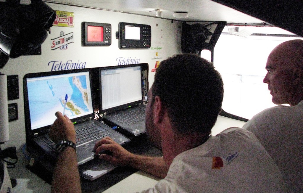
Predictwinds routing function gives you the same capability as Volvo Ocean Race routing systems Gabriele Olivo/Telefonica Blue/Volvo Ocean Race
http://www.volvooceanrace.org
Whether you are racing, cruising or doing delivery, with PredictWind’s Weather Routing tool, working out the fastest or most comfortable passage has never been easier.
We give you a three step navigation explanation with diagrams - and you are ready to go to plot your favorite cruising route, avoiding rough seas and high winds, or try being a Volvo Ocean Race navigator
What can take hours to do manually happens with the click of a button on PredictWind.
Simply place your start and finish points on the map, and select the start time for your passage.
Then, using the selected forecast model, the tool will work out the best path to your destination. Any passage spans across changing weather patterns, swell conditions and currents, and the tool quickly calculates the optimal route for you.
The boat polars allow you to tailor the routing to your specific boat, then you can either choose a route that is optimised for speed or comfort.
Standard and Professional accounts include land avoidance which can be very useful when sailing coastal passages.
Weather Routing in the Professional account also includes ocean and tidal currents which can have a significant effect on routing. You can also receive weather routes via email by sending your current and destination location to PredictWind’s server. This option is great for offshore data use as it is the most economical way (even compared to grib files) to receive routing information.
Weather Routing is a great tool that every sailor should find simple to use and effective in helping find the most suitable route for their next voyage.
Try it out today at www.PredictWind.com
Here's how to do a weather route using PredictWind
1. Chose the start and finish points, either by setting markers, or using specific Lat and Long from a GPS
2. Tweak the Preferences for your boat - this is a one off change for your boat and PredictWind will retain your settings
3. Here is the graphical output - check it looks right, or you haven't made an error in the start or finish position
4. Here is the detailed routing instructions with the time for the course changes
5. Another sanity check the wind speed and direction in graphical format