
World's first satellite-based Coral Reef Map & Monitoring System deployed globally
by Daria Blackwell 14 Sep 2021 22:59 UTC
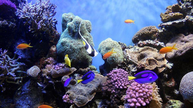
Underwater World © Fascinating Universe - Own work, CC BY-SA 3.0
Researchers have completed a comprehensive online atlas of the world's coral reefs by using more than two million satellite images from across the earth.
The Allen Coral Atlas, named after late Microsoft co-founder Paul Allen, will act as a reference for reef conservation, marine planning and coral science research as scientists try to save these fragile ecosystems that are being lost to climate change, pollution and acidic waters. The group announced the completion of the atlas this week and said it is the first global, high-resolution map of its kind. It gives users the ability to see detailed information about regional reefs, including different types of submarine structures such as sand, rocks, seagrass and coral.
The maps, which include areas up to 15 metres deep, are being used to inform policy decisions about marine protected areas, spatial planning for infrastructure such as docks and seawalls and upcoming coral restoration projects. They relied on hundreds of field contributors who gave them local information about reefs so that they could programme their satellites and software to focus on the right areas.
About three-quarters of the world's reefs had not previously been mapped in such an in-depth way, and many not at all. The University of Queensland in Australia used artificial intelligence technology and local reference data to generate the layers on the atlas. Anyone can view the maps for free online.
Coral reefs provide humanity with many benefits from providing security for reef fish to stimulating the economy through tourism and more. Models predict that without intervention, 70% to 90% of coral reefs will be lost in the next 30 years.
The coral conservation community has remained dedicated to not only protecting coral reefs but also bringing them back more resilient than before. The Allen Coral Atlas unites five partners committed to ocean conservation: Arizona State University, Vulcan Inc., University of Queensland, Planet, and the National Geographic Society.
The Atlas monitoring system detects variations in reef brightness using high-resolution satellite imagery powered by an advanced algorithm indicating whether reefs are under stress caused by marine heatwaves. With this tool, users can see where corals are bleaching in bi-weekly increments from January 2021 onward on a global scale.
The ability to monitor changes in coral reef conditions is a clear but challenging requirement to drive decisions on where to apply the best restorative and protective interventions.
This is just the first version of the monitoring system. They intend to improve and expand it to include a broader range of impacts on reefs such as land-sea pollution and sedimentation.
From the OCC's point of view, such interventions are welcome and encouraging. Simply documenting change is not enough. We must understand how to prevent damaging activities and implement mitigation strategies.
This article has been provided by the courtesy of Ocean Cruising Club.